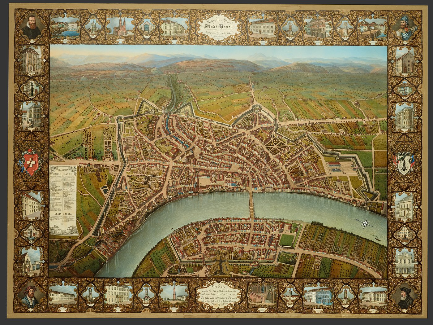
signed and dated 1847
Friedrich Mahly, Basle Coloured lithography
height 61.7 cm, width 84 cm
Inv. 1901.108.
Mahly's plan is topographically correct, but also has the merit of following the ground plan of the bird's eye view by Matthäus Merian. Comparing the two plans gives us an insight into the continuity and changes in the city of Basle over a period of 230 years. Although not a great deal of building work was undertaken in the private or the public sector between 1615 and 1847, there are quite a few changes in detail. By 1847 not only had the outworks of several city gates disappeared, but the fortifications along the Rhine and a great many towers and chapels as well. The Stadthaus, the Haus zum Kirschgarten, St. Jakobsdenkmal, the Botanical Garden and the city hospital were new. The projecting outlines of the first factories and the Elsässerbahnhof (railway station) are the precursors of a new era. The picture of the town nestling round a bend of the Rhine like some Biedermeier idyll idealises the image of old Basle. The reality was different: one has only to visualise, where Falknerstrasse now is, the open Birsigbach, a foul smelling sewer running through the middle of the town that was the source of devastating epidemics.
![]()
![]()
![]()

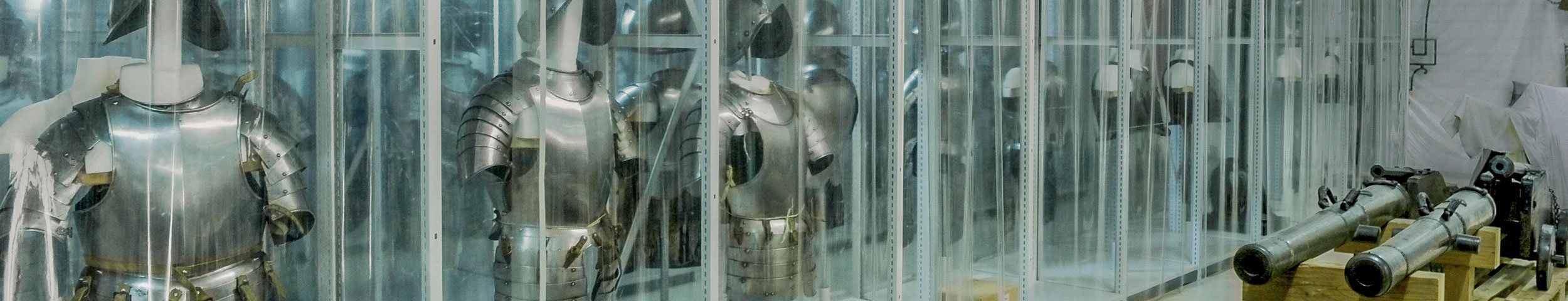
Basel Historical Museum
Management & administration
Steinenberg 4
PO box
CH – 4001 Basel
Reception: +41 61 205 86 00
historisches.museum(at)bs.ch